Today our starting point is Saket Metro Station (Yellow line), Exit-2.
Total Walking Distance: 36 top attractions within a walking distance of about 10 km. So wear your comfortable shoes, and grab a water bottle. You can reduce about 2 km walking distance by hiring an auto to get to and from the Garden of Five Senses, or skip it.
Qila Rai Pithora
Ruined Fort
The 16th ruler of the Tomara dynasty, Anangapal II (reign: 1051 - 1081) expanded his territory to parts of Delhi, and he moved his capital from Haryana to Delhi. He built the fort "Lal Kot" in between 1052 - 1060 CE.
He brought a Iron Pillar from Mathura and installed it in Delhi in 1052 AD (Later Qutub Minar was built near the iron pillar). Numerous palaces and temples were constructed with the iron pillar as the center and finally the Lal Kot fort was built. The construction of the Lal Kot was completed in 1060.
Prithviraja III, also known as Prithviraj Chauhan or Rai Pithora, was the 32nd king from the Chauhan dynasty, reigned from 1177–1192. He conquered Lal Kot in 1180 and renamed it "Qila Rai Pithora". It is said that Prithviraj Chauhan extended Lal Kot to the east and north.
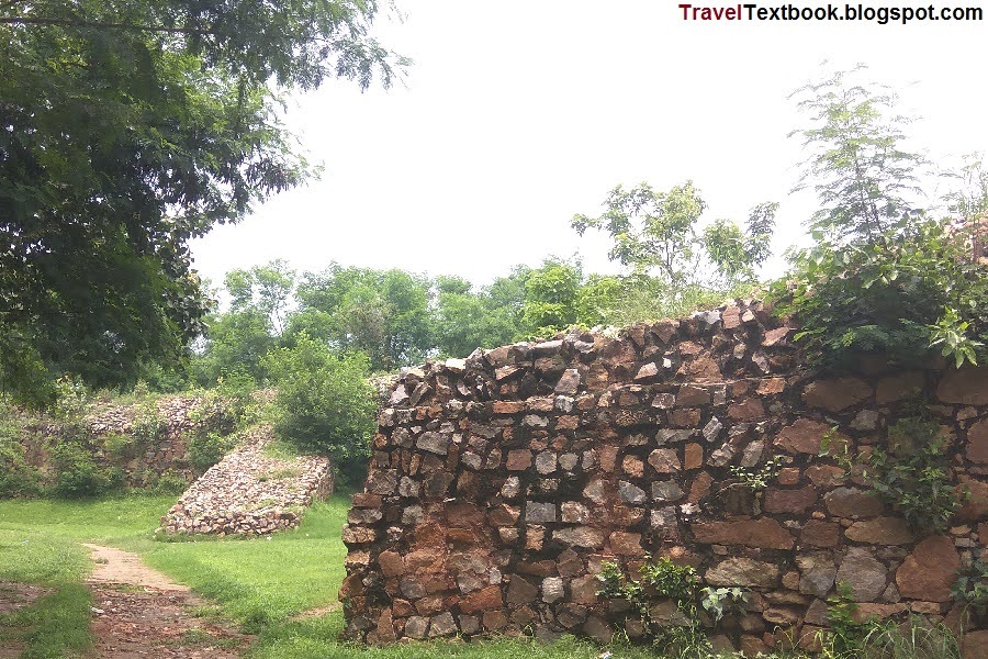
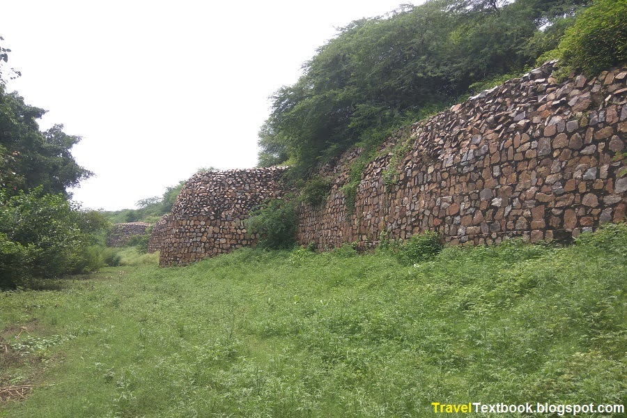
The circumference of the fort was more than 2 miles and the walls of the fort were 60 feet high and 30 feet thick. Its eastern boundary wall is seen at the south of Indian Garden Park (southwest of Saket Metro station, west of Westend Marg) and its western boundary wall is seen at Sanjay Van. The distance between the two walls is about 2 km. There was such a big fort.
Now it is completely destroyed. Only 2/3 of the ruins of that time can be found in this huge fort area. Later, different rulers built their various structures on this Lal Kot or Qila Rai Pithora.
Walking west from Exit Gate 2 of Saket Metro Station (Yellow Line), I took the first left (south) road called "Westend Marg". As I walked south I saw a small gate of "Indian Garden Park" on my right. But I continued to walk a few more meters, and I saw an iron gate on my right and a huge wall visible from outside.
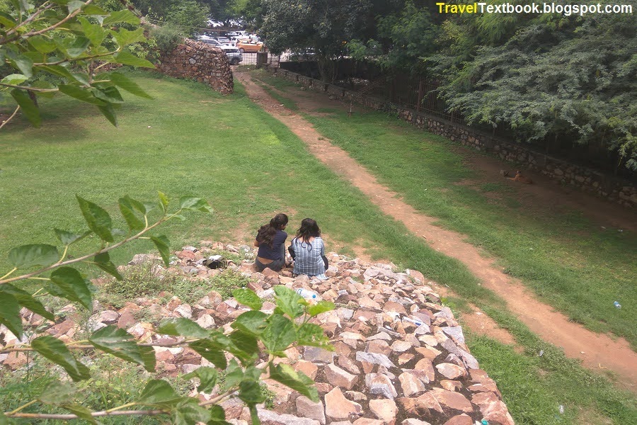
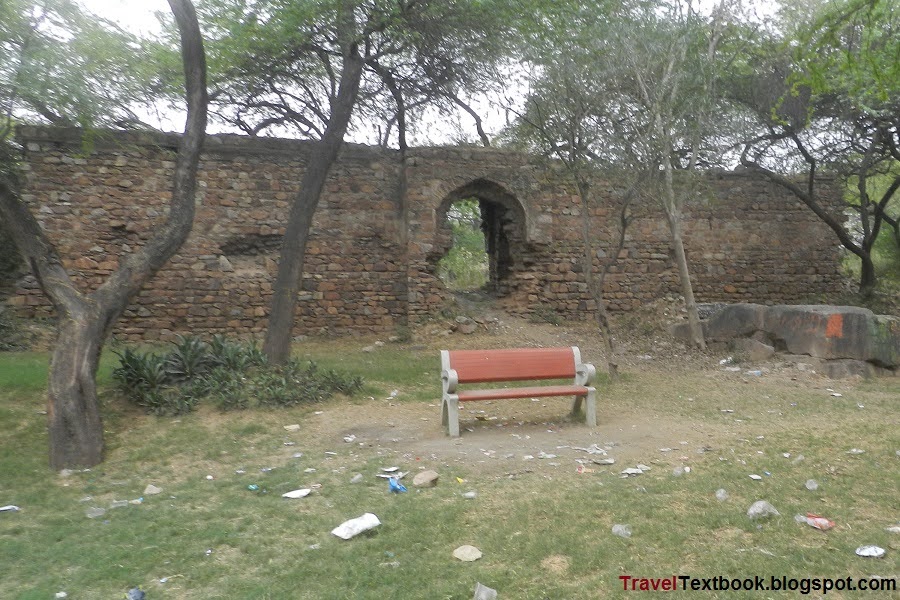
I entered the gate. It is the eastern end wall of Qila Rai Pithora. Once upon a time there was an entrance called 'Barkha Gate'. It no longer exists. I saw a ramp, went up but nothing special. Behind the wall is the iron boundary of the park. I came down and walked along the wall to the south.
This wall may have been built between 1180 - 1192 by Prithviraj Chauhan.
But did not go to the south end because the grasses grow long from one place, and it seems that no one had walked there before. Insects can cause damage, so return by the same route.
Visiting Time: Sunrise to Sunset every day.
Entry Fee: Free.
Photography: Allowed.
How to go: The eastern wall is located near Saket Metro Station (yellow line). From Saket Metro station, exit gate 2, walk few meters towards west. You will reach "Westend Marg (road)" on your left (south). Enter the road and walk towards south. You will see a small gate of Indian Garden Park at your right. But continue walking few more meters, and you will see a iron gate on your right and you can see the wall. Just enter and walk besides the wall.
The Garden of Five Senses
Park
Spread over 20 acres of land. The garden has various theme areas, including a section on the lines of Mughal Gardens, plus pools of water lilies, bamboo courts, herb gardens and solar energy park.
Visiting Time: 9 AM to 6 PM every day..
Entry Fee: 35 Rupees (US$ 0.43) for adult and 15 Rupees (US$ 0.18) for child.
Photography: Allowed. Professional Photography - 3000 Rupees (US$ 36.44) + GST.
How to go: About 850 meters from east wall of Qila Rai Pithora gate towards south
Watch Tower
Historical tower
The history behind it is completely unknown. Some call it "Burj Rokista". But this name is not proven.
A huge rock and a tower was built on top of it in Qila Rai Pithora area. It can be estimated to have been built between 1180-1192 by Prithviraj Chauhan.
Now this site is using as rock climbing area.
Visiting Time: Sunrise to Sunset every day.
Entry Fee: Free.
Photography: Allowed.
How to go: I entered through the small gate at the 'Westend Marg' of Indian Garden Park. The main gate of the park is on the north side. I walked west along the left side of the park. I reached a field and turned left (west) and walked along the walkway to the left of the field. A few meters later I saw an iron gate on my left, the gate of another park called "53 Acre Park".
I entered the 53 Acre Park gate and saw a straight road and a road on the right side, which goes to the main entry gate of the park. I kept walking straight (south). The forest was very quiet then. There was no one in the forest at that time except me alone. I saw peacocks are walking. After walking about 240 meters, I saw huge rocks on my right.
I returned to the northeast road from the tower and walked straight north to the main gate of the 53-acre park.
Gumbad Park, Lado Sarai
Historical Landmark
Much is unknown about this tomb, but based on the architectural design, it is presumed to belong to the Lodi period (1451-1526).
The surrounding area was developed into a small park now known as Gumbad Park.
Visiting Time: Sunrise to Sunset every day.
Entry Fee: Free.
Photography: Allowed.
How to go: It is located about 380 meters from the main gate of 53 Acre Park towards west at Lado Sarai. Near the Lado Sarai Bus stop. Nearest metro station is Saket Metro station, about 1 km east.
Azim Khan Tomb
Tomb
Azim Khan was a general in the Mughal army during the reign of the Mughal emperor Akbar (reign: 11 February 1556 – 27 October 1605). The tomb was commissioned in the 17th century. There are not enough historical records about General Azim Khan.
After the Mughal period, during the British rule, the mausoleum was used as a recreation ground by the British soldiers.
Visiting Time: Sunrise to Sunset every day.
Entry Fee: Free.
Photography: Allowed.
How to go: It is located about 350 meters from Gumbad Park. Just cross the main road and enter the opposite road named 'Shamshan Ghat road' and walk.
Ahinsa Sthal
Jain Temple
Jainism, also known as Jain Dharma, is one of the oldest Indian religions.
In Jainism, a Tirthankara is a religious savior and spiritual teacher. They have 24 Tirthankaras in the present time cycle.
Rishabhanatha, the first Tirthankara of Jainism in the present life cycle and is believed to have lived millions of years ago. He was the spiritual successor of Sampratti Bhagwan, the last Tirthankara of the previous life cycle. Mahavira is the 24th and last Tirthankara of the present life cycle was born in 599 BC in Bihar.
The three main pillars of Jainism are Ahimsa (non-violence), anekantavada (non-absolutism), and aparigraha (asceticism).
Jain monks take five main vows are ahimsa (non-violence), satya (truth), asteya (non-stealing), brahmacharya (chastity), and aparigraha (non-possessiveness).
The two main branches of Jainism are Digambaras (meaning "sky-clad", whose ascetic practitioners are naked) and Svetambaras (referring to its ascetics practice of wearing white-clothes. They do not believe that ascetics must practice nudity).
The presiding deity of this temple is Mahavira. There is an idol of Mahavira with a height of 13 feet 6 inches. Its weight is about 30 tons. The height of the lotus is 2 feet 8 inches and its weight is about 17 tons.
Visiting Time: 7 AM to 1 PM and 4 PM to 8 PM every day.
Entry Fee: Free.
Photography: Allowed.
How to go: It is located about 450 meters south from Azim Khan Tomb. From Azim Khan tombs, walk towards south behind the Ahinsa Sthal and come to the main road. Then turn north and walk. You will see Ahinsa Sthal on your right.
More Jain Temple: Jain Mandir Dadabari.
Mehrauli Archaeological Park
Archaeological Park
Anangpal Tomar, the 16th ruler of the Tomara dynasty, erected many structures in this region during his reign (1051 to 1081).
After that, one ruler after another also built many structures in this area. Many structures have been destroyed day after day.
Redevelopment of the area as an archaeological park and conservation of important structures began in 1997, and over the years many monuments have been restored in the park.
Mehrauli Archaeological Park is spread over 200 acre of land. It consists of over 100 historical monuments.
Visiting Time: Sunrise to Sunset every day.
Entry Fee: Free.
Photography: Allowed.
How to go: The northeast gate is located about 160 meters from Ahingsha Sthal. Cross the road from Ahingsha Sthal. Walk towards north. A road goes to northwest towards Qutub Minar. You will see a small gate at this point on your left.
Inside the Premises:
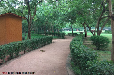
The park has many entrances. In the middle of the eastern end is an entrance, which takes you directly to Masjid Suhailwali. Another entrance is in the northeast corner, which takes you to the northeast corner of the rose garden. Other entrances are on the west side. Such as east of Gandhak Ki Baoli will take you to Rajan Ki Baoli, east of Zafar Mahal will take you to Jamiatul Quran Ummahatul Mumineen Girls Islamic Hostel. I entered through the northeast gate.
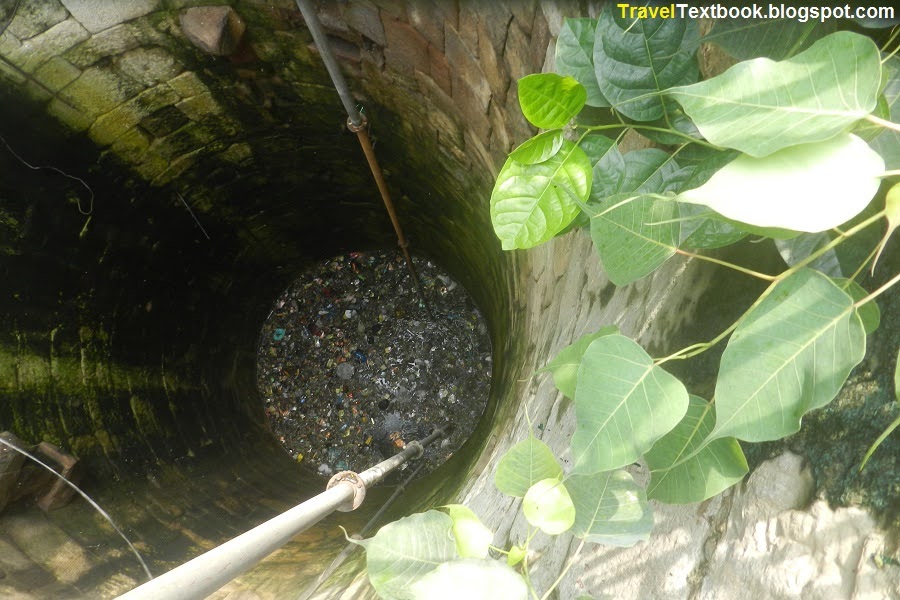
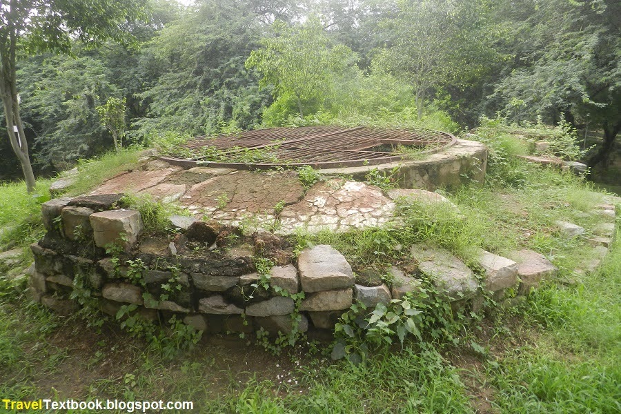
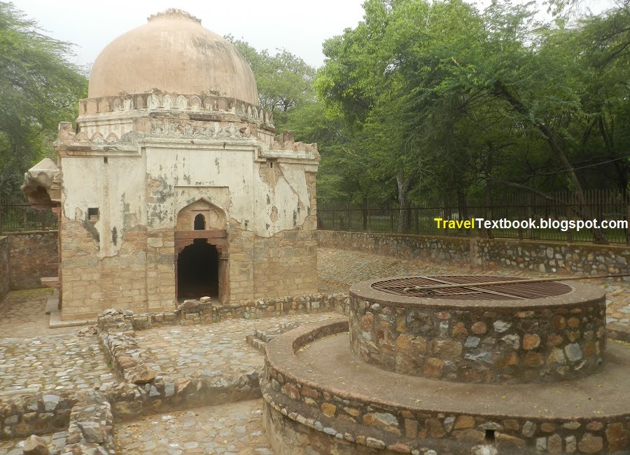
Historical Well:
Just right side (north) after enter from the northeast gate.
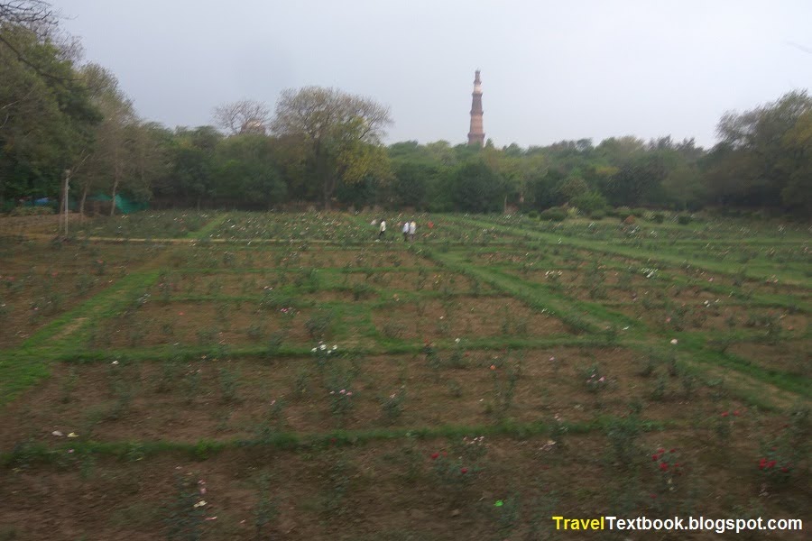
Rose Garden:
If you walk left (south) from the northeast gate, you will see rose Garden on your right (west).
After the Rose Garden, turn right (west) and walk. Then again turn rught (north) and walk. you will see the boathouse on your right, and Quli Tomb on your left.
Metcalfe Bridge:
Quli Khan's tomb and its surroundings, south of the Qutub Minar, were purchased by Sir Thomas Metcalfe (1795–1853), a civil servant, when he was the last British Resident to the Governor-General at the Mughal court of Emperor Bahadur Shah Jafar in between 1835–1853. Metcalfe redeveloped the place for use as a pleasure resort during the monsoon season. He called it 'Dilkhusha' (joy of the heart). The purpose of building this place was said to be that Metcalfe wanted to keep an eye on Emperor Bahadur Shah II who had his Zafar Mahal palace in Mehrauli to spend his summers. The place was said to be an ideal setting for honeymoon couples.
The bridge was built by Sir Thomas Metcalfe in between 1835–1853 to access his retreat house ‘Dilkusha’.
The Boathouse is located in the middle of the bridge.
Metcalfe's Boathouse:
The complex was a picturesque site with several regulated watercourses, leading to a tank (now known as Metcalfe's Boathouse and Dovecote). The tank dates back to the Lodi dynasty (1452-1526). It was renovated for use by Metcalfe, for boating and swimming. A steps from the boathouse leads to his Dilkhusha.
It is located at the middle of the bridge.
Quli Khan Tomb:
Muhammad Quli Khan, brother of Adham Khan, a general and foster brother of Emperor Akbar. The octagonal Mughal tomb built in the 17th century.
The memorial is located opposite (west) of Boathouse on a raised platform.
Chhatri:
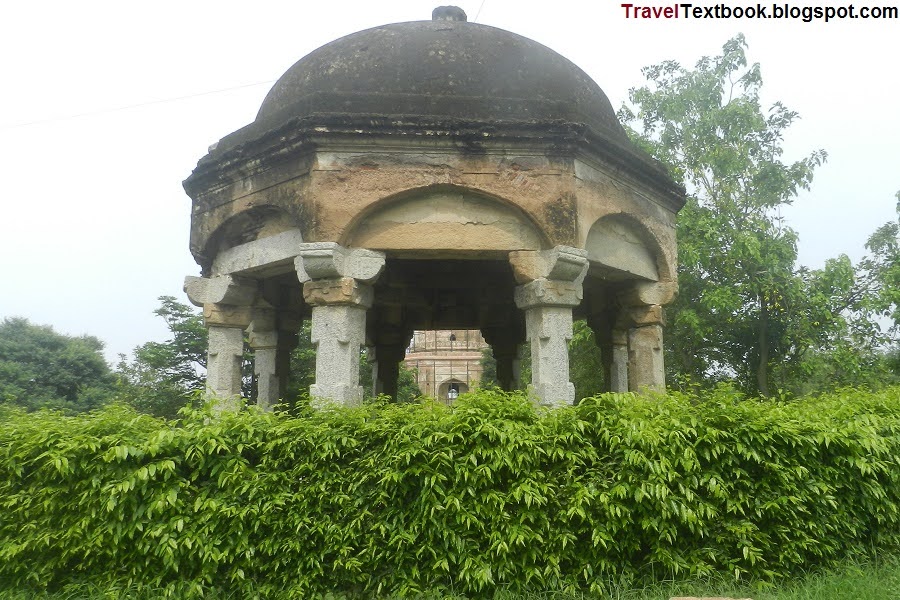
It was built by Sir Thomas Metcalfe in between 1835–1853. It is located west of Quli Tomb.
Metcalfe's Bath House:
It was built by Sir Thomas Metcalfe in between 1835–1853. It is located north end from Chhatri.
Dual Round Tower:
It was built by Sir Thomas Metcalfe in between 1835–1853. It is located about 80 meters east from Metcalfe Bath House.
Metcalfe Guest House:
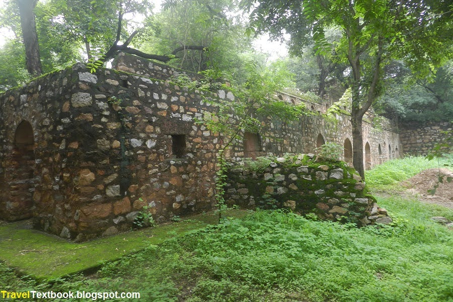
It was built by Sir Thomas Metcalfe in between 1835–1853, and now is almost ruined. It is located north through the middle road of Metcalfe's Boathouse and Quli Tomb.
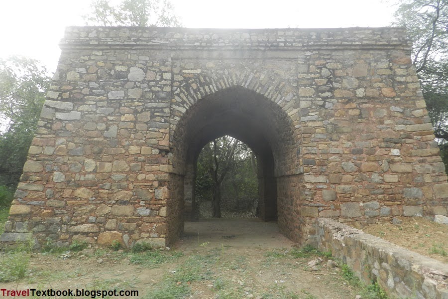
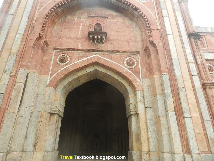
Chaumukha Darwaza:
It is located north of Metcalfe Guest House.
The 16th ruler of the Tomara dynasty, Anangapala II (reign: 1051 - 1081) built the "Lal Kot" fort between 1052 - 1060 CE. Chaumukha Darwaza is said to have been built as the eastern gate of the then Lal Kot. If so, a north-south wall must have divided the area. The western side of the Chaumukha Darwaja belonged to the Lal Kot fort and the eastern side was later expanded for the 'Qila Rai Pithora' which was expanded by Prithviraja III during his reign from 1177-1192.
According to some sources, architecturally it may have been built during the Tughluq period (1320-1413).
Quli Khan's tomb and its surroundings were purchased by Sir Thomas Metcalf, a civil servant, when he was the last British Resident Governor-General at the Mughal court of Emperor Bahadur Shah Jafar in between 1835–1853. Metcalf remodeled the place to be used as a pleasure resort during the rainy season. He built and restored several structures in the area. Chaumukha Darwaza may be one of them.
It has four open doors on its four sides.
Historical Well:
Come back south of Rose Garden and it is located east side of the field.
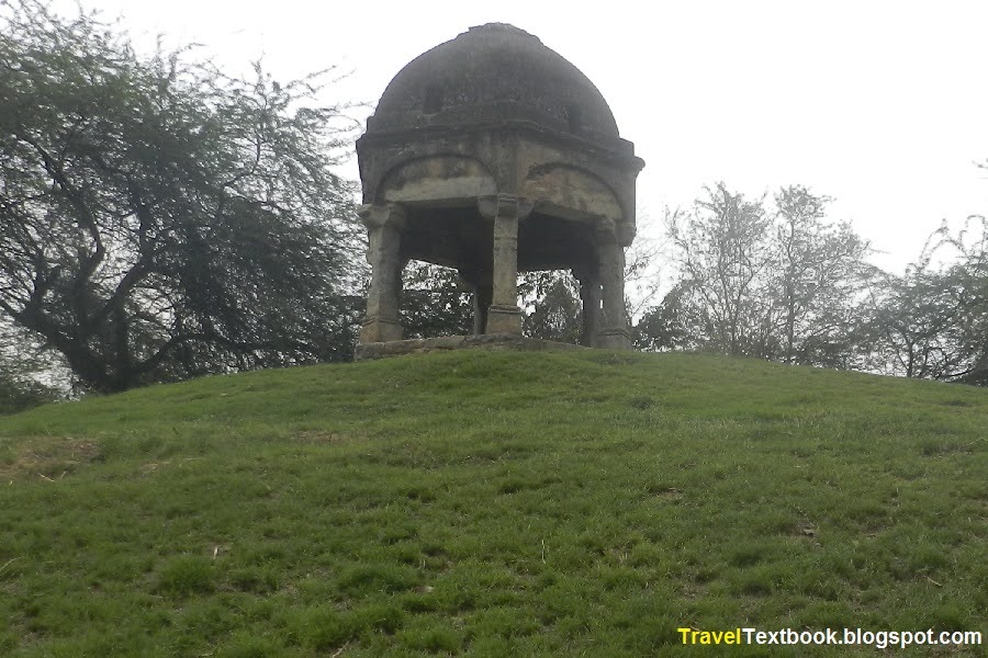
Metcalfe Canopy:
Standing on top of a grassy tila, a stone canopy was built by Sir Thomas Metcalfe in between 1835–1853. It is located Southeast of Historical well.
Tomb of Balban:
Tomb of Ghiyas Uddin Balban was built in 1287. Ghiyas Uddin Balban (1200–1287) was the 9th ruler of Mamluk dynasty (or Slave Dynasty) reigning from 1266 to 1287.
To the east of Balban's mausoleum, there is a ruined rectangular structure which is the tomb of Balban's son Khan Shahid, who died fighting the Mongols near Multan in 1285.
It is located southeast of the Metcalfe Canopy near east boundary wall of Mehrauli.
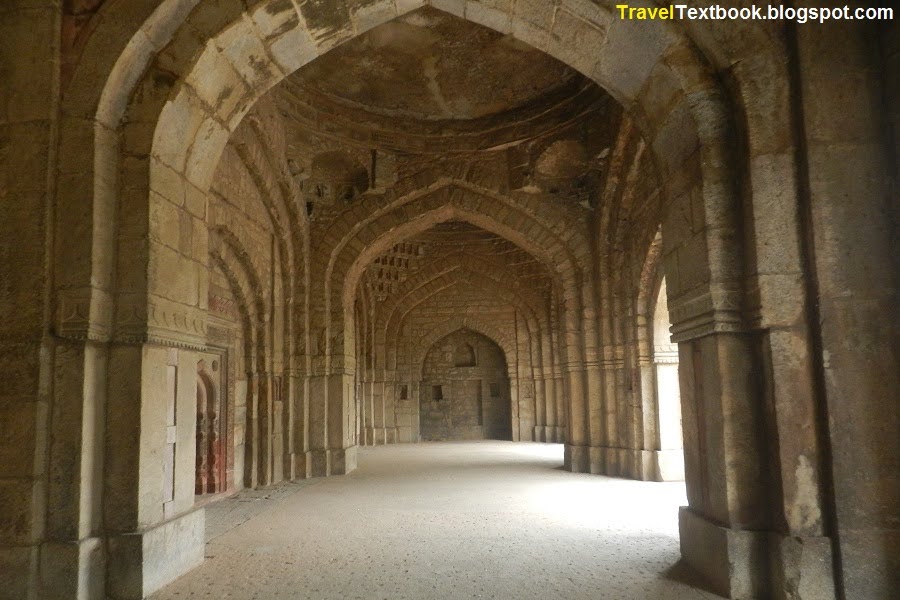
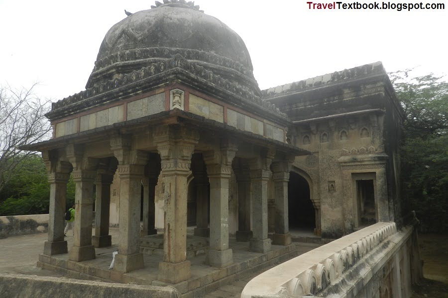
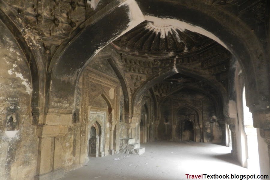
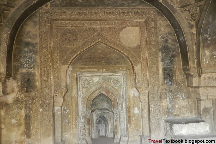
Jamali Kamali Mosque and Tomb:
The mosque and the tomb were constructed in 1528-1529, and Jamali was buried in the tomb after his death in 1535.
Shaikh Fazlullah also known as Jalal Khan or Jamali was a popular poet. He became a court poet during the reign of Sultan Sikandar Lodi (reign: 1489-1517) and continued to patronize the Mughal emperor Babur (reign: 20 April 1526 – 26 December 1530) and his son Humayun (1st reign: 26 December 1530 – 17 May 1540, 2nd reign: 22 June 1555 – 27 January 1556). Two of his most popular works are "The Sun and Moon" and "The Spiritual Journey of the Mystics".
The mosque was built during the reign of Babur. It is said that his tomb was completed during the reign of Humayun. According to oral history and tradition, Kamali was a stranger who was Jamali's disciple and lover.
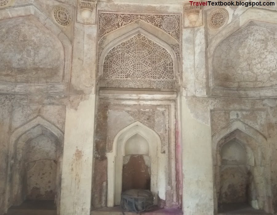
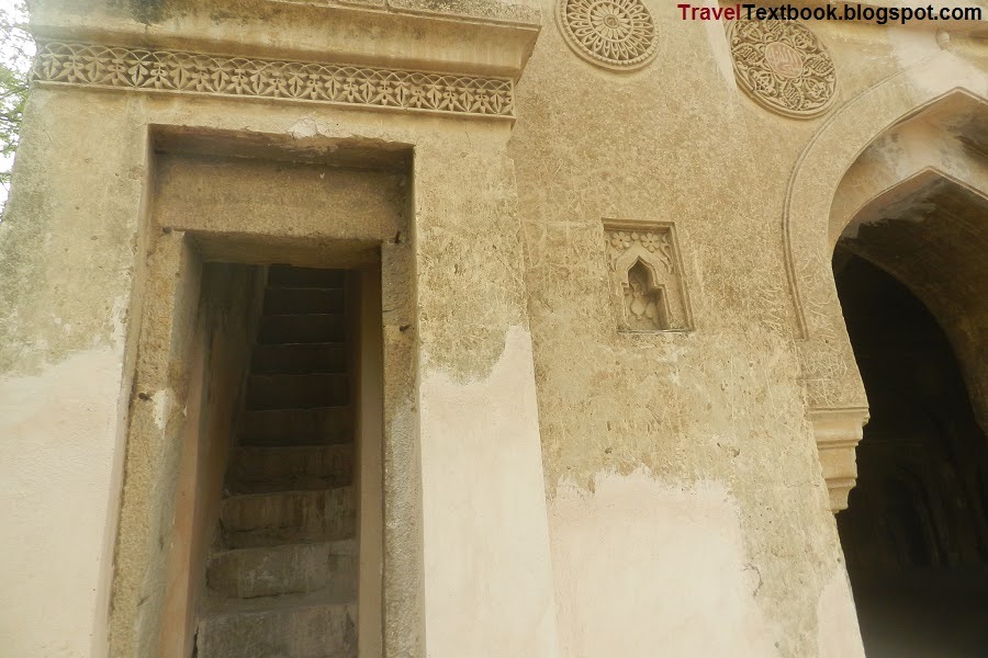
It is located west of Balban's tomb. Entrance gate is at it's east side. South gate photo of Jamali Kamali has given below, It reamins closed.
Unknown monument:
It is located just behind the Jamali Kamali Mosque.
Rajon Ki Baoli:
It was built in 1506 AD by Daulat Khan, an administrator of the Lodi dynasty.
The name Rajan Ki Baoli is derived from the word used for masonry. It got its name from the masons who moved permanently to the area in the early 20th century.
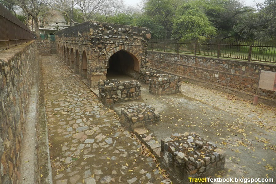
The step well is surrounded by high walls on the east and west sides. The wall has a narrow side to walk and twelve pillars on both sides which are arched.
There is also a mosque and a tomb within the Rajan Ki Baoli enclosure.
From unknown architecture behind Jamali Kamali, walk towards north along the fountain lake. Then turn west and walk. It is located about 330 meters from the unknown structure.
Tomb of Pathan Period:
The tomb dates back to the Pathan period (from 1897 to 1908) with numerous graves within the raised enclosure. On either side of the northern wall is a narrow staircase.
It is located opposite of Rajon Ki Baoli.
Madarsa Qasimul Uloom, Mehrauli:
It is located west of Rajon Ki Baoli.
Unknown Architecture:
It is located southwest of tomb of Pathan period and northwest of Madarsa Qasimul Uloom, Mehrauli near Rajon ki Baoli.
Pathan Period Tomb:
It is located west of Madarsa Kasimul Ulum Mahroli.
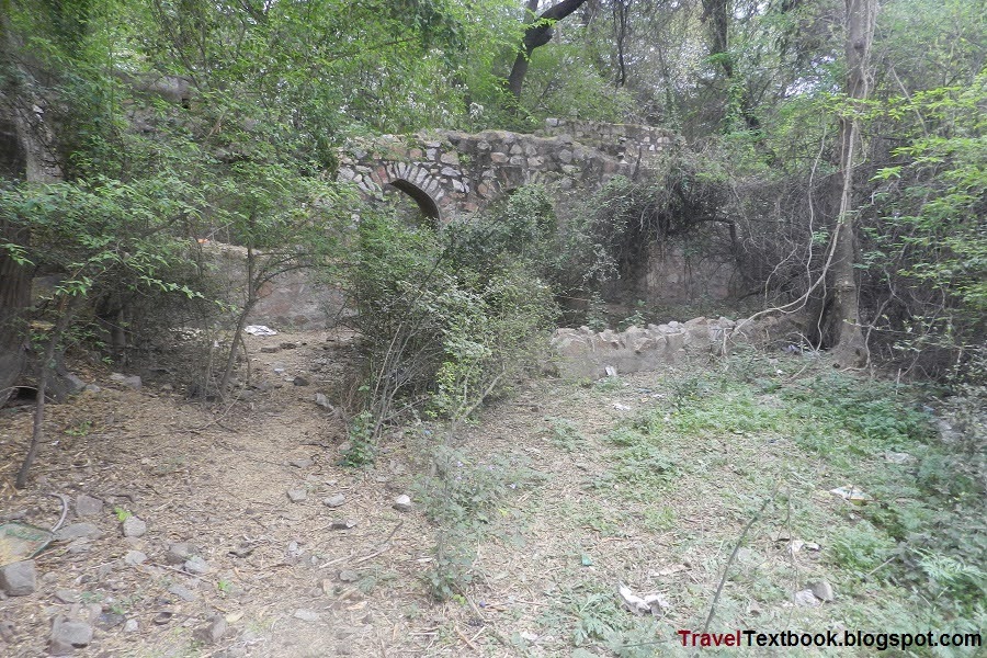
I started to walk through the east side road of Rajon Ki Baoli towards south. I saw more ruined structure on my right.
Masjid Neem Wali:
Later restored most probably on a ruined structure. It is located about 80 meters south of Rajan ki Baoli.
Then I walked towards south, and saw few more ruined structure on my right.
Historical Structure:
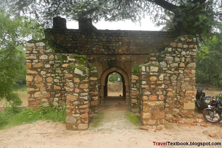
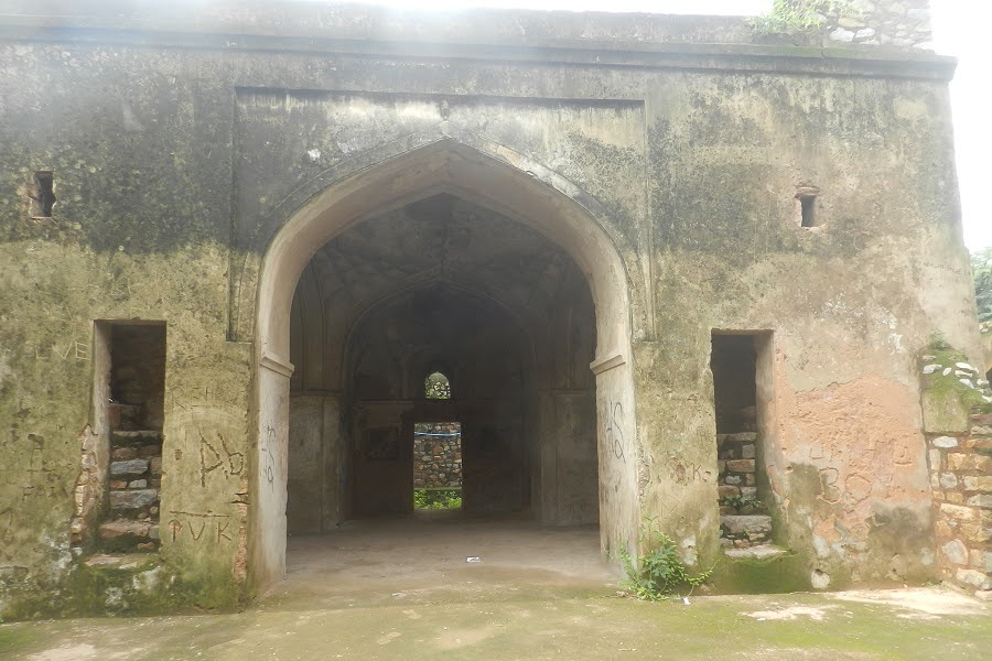
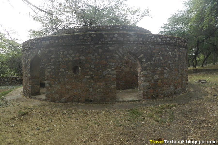
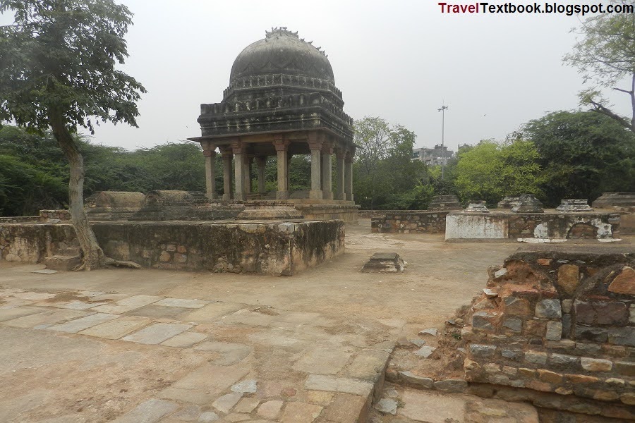
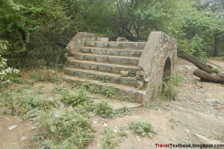
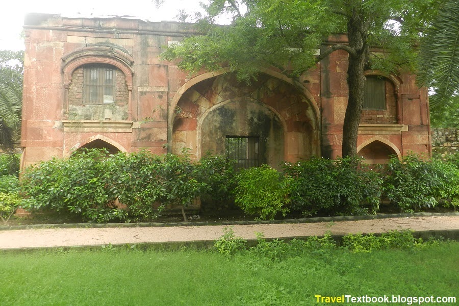
Another ruined palace. The history behind it is completely unknown. There is seating in front of the structure. It is located about 40 meters south of Neem Wali Masjid.
Mughal Tomb:
It is located north of the unknown structure.
Start walking towards east and you can see few more structures.
Guard House:
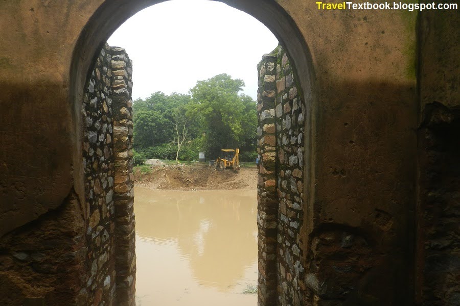
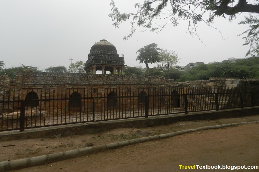
A guard house and a small bridge. Sir Thomas Metcalfe (1795–1853) built artificial waterways and canals around his estate. Maybe that's why a small bridge was built over the canal.
It is located about few meters east from Mughal.
Tomb with Jharokhas:
It is said to have been built during Lodi period (1452-1526). It is located about 100 meters east from guard house.
Lodi Old Kua:
It is said to have been built during Lodi period (1452-1526). It is located inside Jharoka tomb premises.
Wall Mosque:
It is located inside Jharokha tomb premises.
Nazir Ka Bagh:
Bagh-e Nazir was built in 1748 by Nazir, the chief eunuch of the 13th Mughal emperor Mirza Nasir-ud-Din Muḥammad Shah. It is located south of Horse Stable.
The most of area is now occupied by the Ashoka Mission, a Buddhist organization. The remaining space is now beautifully landscaped as a garden with body fitness equipment.
Horse Stable:
This horse stable is belongs to the Mughal period. It is located east of Jharokha tomb premises.
Masjid Suhailwali:
About 100 meters east from Horse Stable.
The main entry/exit gate of Mehrauli Park is located about 180 meters east of Masjid Suhelwali. Qutub Minar Metro Station (Yellow Line) is about 700 meters south of the gate. On the way there is a Buddhist organization called 'Ashoka Mission'. You can visit if you have time, or skip and go back to your accommodation.
Today's Total Cost = Entry Fee: 35 Rupees for Adults and 15 Rupees for Child + Up Down Metro Cost: 120 Rupees Max + Food Cost: approx 200 Rupees.
Hope this post will help you. Write your comment below and please share it with your friends.
You May Also Like
Travel Delhi: Day-1
Travel Delhi: Day-2 (You are here)
Travel Delhi: Day-3
Travel Delhi: Day-4
Travel Delhi: Day-5
Travel Delhi: Day-6
Travel Delhi: Day-7
Travel Delhi: Day-8
Travel Delhi: Day-9
Travel Delhi: Day-10
Travel Delhi: Day-11
Travel Delhi: Day-12
Travel Delhi: Day-13
Travel Delhi: Day-14
Travel Delhi: Day-15
Travel Delhi: Day-16
Travel Delhi: Miscellaneous
Click below to go










































No comments:
Post a Comment